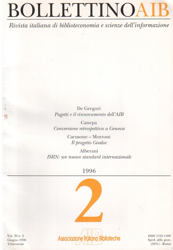
The Geodoc project: a three years journey
Main Article Content
Abstract
In 1991, thanks to an agreement signed between the Geological Survey, the Ministry of Labour and Geodoc Consortium (made up by Italsiel, Sidac and Telespazio companies), with funds made available by the law n. 160/1988, the Geodoc project was born. The aim was the establishment of the centre for geological documentation of the national territory, to be used by geologists and technicians, as a datum-point, and at the same time to contribute to a higher standard of environmental safety because of organization and diffusion of specialized information.
The essential condition for setting up the centre was the previous inventoring and cataloguing of the National Geological Survey's museums and its bibliographic and cartographic holdings. The project involved about 200 documentalists, divided in four groups. The most complex and onerous effort of the entire project was that made by the library, involving 140 documentalists: 114 in Naples and 26 in Rome.
The library of the National Geological Survey, now belonging to the Department for the national technical services, Presidency of the Council of Ministers, is specialized in earth sciences: its rich collection, consisting of 2200 serials (800 currently received), 15.000 monographs and 46.000 maps, has been made available thanks to the recuperative activities of the Geodoc project. The fundamental steps have been the following:
- compilation of the Guida tecnica per la realizzazione di un centro di documentazione geologica del territorio nazionale: Progetto Geodoc;
- compilation of a guide to the history, organization and aims of the library;
- analysis of the requirements for micro and mainframe systems software;
- physical reorganization of all materials;
- binding and restoration;
- complete inventory of holdings;
- cataloguing of books and serials according to RICA, ISBD(M) and (S), and standards of the national library network (SBN);
- cataloguing of maps according to ISBD(CM);
- indexing by a scheme of classification, controlled and uncontrolled keywords, geographic, cartographic, chronologic and litostratigraphic references;
- cataloguing of 40.000 analytical titles;
- implementation of the BIBLIO database for subject data and cartographic materials;
- downloading and merging of records in the national database (Indice SBN);
- coordination of activities.
Of the most important activities mentioned above, worthy of note as regards originality and innovation are those related to the description and classification of cartographic material, the subject indexing based on a thesaurus for earth sciences and finally the building of a database containing references and abstracts of papers from Italian journals and collective works or concerning Italy culled from the whole Library's collection.
Article Details

This work is licensed under a Creative Commons Attribution-ShareAlike 4.0 International License.
